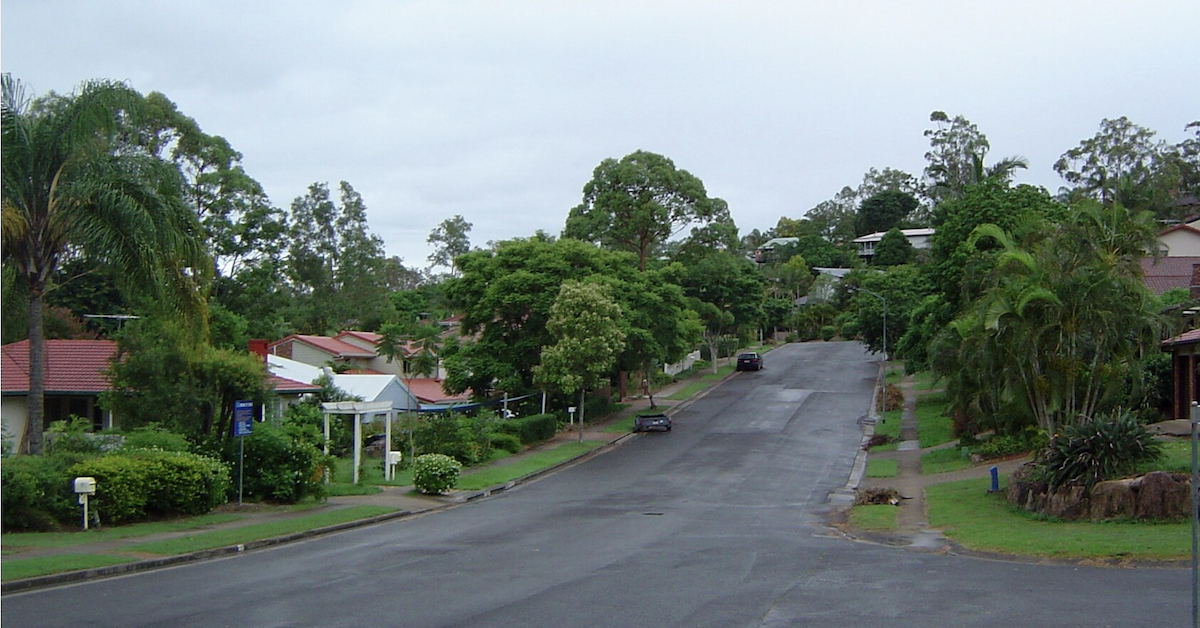




Drive through Brookfield or Kenmore Hills and it is easy to assume much of the bush beyond the road belongs to a reserve, park or some other piece of protected land.
Often, it doesn’t.
The Moggill Creek Catchment Group says about 70 per cent of the 57.6-square-kilometre Moggill Creek catchment is privately owned. It also describes the catchment as having more bushland than any other in Brisbane.
Put those two facts together and the familiar landscape looks a little different.
Some of the trees rising behind houses, vegetation following creeks and thick bush covering larger acreage blocks sit on private property. Collectively, those patches help fill the spaces between the larger areas of bushland scattered across Brisbane’s western fringe.
Much of the Green Is Behind the Fence

Moggill Creek runs from the forested country around Upper Brookfield towards the Brisbane River, gathering tributaries including Gold Creek, Wonga Creek, Gap Creek and McKay Brook.
MCCG describes the catchment as an important biodiversity corridor between the D’Aguilar Range and the Brisbane River. Queensland Government environmental information adds another measure of its value, describing Moggill Creek as supporting one of the most diverse aquatic communities in the Brisbane area.
But there is no continuous strip of protected bush joining one end to the other.
The landscape is divided among public bushland, homes, roads, paddocks and rural-residential properties. In Brookfield and Kenmore Hills, vegetation can run across several privately owned blocks before reaching a creek corridor or larger patch of bush.
Look at a cadastral map and those properties are separate parcels. Look across the valley and the boundaries are much harder to see.
Brookfield Wasn’t Always This Green

The leafy landscape also hides a more heavily cleared past.
Brookfield and Upper Brookfield developed as farming districts, with land used over generations for agriculture, grazing and dairying. Much of the country Brisbane residents now associate with acreage living was once working land.
The Queensland Government’s Lower Brisbane catchment history records extensive clearing for rural and residential uses across the Moggill Creek sub-catchments, but also says most of the cleared vegetation has since regrown.
That leaves an unusual landscape today: older bush beside regrowth, former farmland returning to trees, creek corridors winding between properties and houses sitting among vegetation that wasn’t necessarily there several generations ago.
Some of what now looks like established bush has therefore returned while the district around it changed from farming country to rural-residential Brisbane.
Weeds Have Never Respected Property Lines
Private ownership brings another dimension to looking after such a large area.
MCCG has spent years working across property boundaries on environmental weeds, including Cat’s Claw Creeper. An infestation does not become somebody else’s problem simply because a fence intervenes; seeds, vines, waterways and wildlife provide their own routes across the landscape.
The creeks do the same thing. Moggill Creek and its tributaries pass through a succession of properties before reaching the Brisbane River.
There are also landholders who have deliberately returned substantial areas to bush.
At Smith’s Scrub in Upper Brookfield, former farmland has been revegetated and significant parts of the property placed under conservation agreements or covenants. It is a particularly large example of private restoration in a catchment where most of the land is privately held.
Across Brookfield and Kenmore Hills, the individual pieces are generally much less conspicuous: trees retained around a house, bush on the back of an acreage block, vegetation along a creek or a patch joining the greenery next door.
Individually, they can look incidental. Across an entire catchment, they become part of the landscape.
Before Sunrise on Moggill Creek
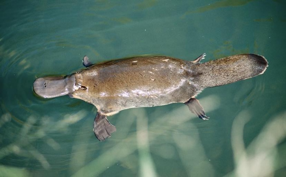
There was a reminder of that landscape at the end of August, when volunteers headed out before dawn for MCCG’s 21st annual platypus survey.
The community survey has been running since 2005, with observers stationed along Moggill and Gold creeks. The 2026 survey was held on 30 August, although results have not yet been published.
Platypus are only one visible part of a much larger system, but following the creek reveals something that is easy to miss from the road.
It moves through public land and private property without distinction.
That raises an interesting question as Brookfield and Kenmore Hills continue to change: how much of the bushland character people value here actually sits on land most residents will never enter?
In a catchment where about seven out of every 10 hectares are privately owned, probably more than many realise.
Much of the bush is, quite literally, over the back fence.