


The Department of Transport and Main Roads (TMR) has opened community consultation on the Integrated Road and Public Transport Plan for Western Brisbane, a planning study examining transport challenges across the city’s outer west, including areas served by Moggill Road through suburbs such as Kenmore, Kenmore Hills, Moggill, and Bellbowrie.
Read: Man Found Dead After Car Plunges Into Brisbane River Near Moggill Road Ferry
Why western Brisbane is being studied
According to TMR’s project overview, western Brisbane faces a specific set of transport challenges shaped largely by its geography. The area is bounded by the Brisbane River, Mount Coot-tha, Enoggera Forest Reserve, and D’Aguilar National Park, natural features that limit where transport corridors can be built.


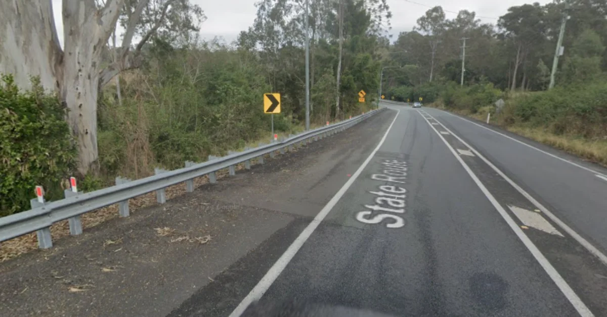
Moggill Road (Photo credit: Google Street View)
As a result, the region relies heavily on a single major arterial road, Moggill Road, as its primary connection to the broader Brisbane network. TMR notes that this dependence on a single arterial creates vulnerabilities across the network, and that population growth is increasing pressure on existing infrastructure.

What the plan aims to address
The planning study is designed to investigate these challenges and identify opportunities to improve the transport network. TMR has outlined the following objectives for the plan:
- Reduce congestion and travel times
- Improve public transport access and reliability
- Strengthen connections between suburbs
- Support future growth
- Create safer travel options for people of all ages
The project documentation notes that two-thirds of all commutes in Brisbane occur between suburbs rather than into the city centre, and that much of the city’s public transport has historically been oriented around CBD-bound travel.
Read: Kenmore Roundabout Upgrade Project Scrapped in Favour of Moggill Road Bikeway
How to have your say
TMR is inviting residents to participate through four channels:


- Online survey: An opportunity to share experiences with transport, mobility, and daily travel
- Interactive map: Residents can drop pins to identify problem areas or suggest opportunities for improvement
- Community pop-up sessions: Project team members will attend local hubs to speak directly with residents and answer questions. Locations and times have not yet been confirmed but will be published on the project page
- Email updates: Residents can register via westernbrisbaneplan@tmr.qld.gov.au to receive updates as the study progresses
Feedback deadline
Community feedback closes on Friday, 29 May 2026. TMR has stated that the plan is still in its early stages and that community input will be used to inform the planning study.
Residents can access the survey, interactive map, and project updates at the TMR YourSay project page.
Published 29-April-2026